


By Matt Kelley (Radio Iowa)
Much of Iowa is seeing above-normal temperatures for the first week of February, a radical change from just a couple of weeks ago.
January wrapped up with some Iowa cities reporting mid-50s for highs, and state climatologist Justin Glisan says that’s some 60 to 70 degrees warmer than the middle of the month when we were in the teens below zero, with wind chills of 40-below.
“The northeast half of the state was actually slightly above average, and the southwest corner below average, but overall, about four-tenths of a degree above average,” Glisan says, “which is amazing given how cold we were right in the middle of the month.”
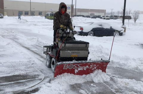
Some Iowa cities saw more than 20 inches of snow during January, and many communities ended up 10 to 15-inches above their averages for snowfall. Glisan says the month concluded as the third-snowiest January on record for Iowa.
“This will be in the top 15 wettest Januarys on record,” Glisan says. “With that snowpack on the ground, with a statewide average of almost 18 inches, and that’s over nine inches above average, the snowpack really did a good job of insulating the surface and keeping those soil temperatures just below freezing, and as we warmed up, those soil temperatures actually got above freezing.”
That allowed the water to filter down into the soil, he says, which brought some improvements in our statewide drought conditions. As for the month ahead, Glisan says we can expect more of what we’ve been seeing all week — warmer-than-normal temperatures.
“If we look at the short-term outlook of six to 10, and eight to 14-days, that gets us out into the middle of the month, high probabilities of warmer temperatures,” Glisan says, “and then on that monthly outlook by the Climate Prediction Center, showing the same type of signal, very high probabilities of warmer temperatures across much of the United States, including Iowa.”
The National Weather Service says the two snowstorms we had during mid-January dropped more than 27 inches of snow on Des Moines, which recorded its second-snowiest January on record, while the 25-plus inches that fell on Waterloo made it -the- snowiest January in history for that northeast Iowa city. It was also Waterloo’s fourth-snowiest month of any month on record.